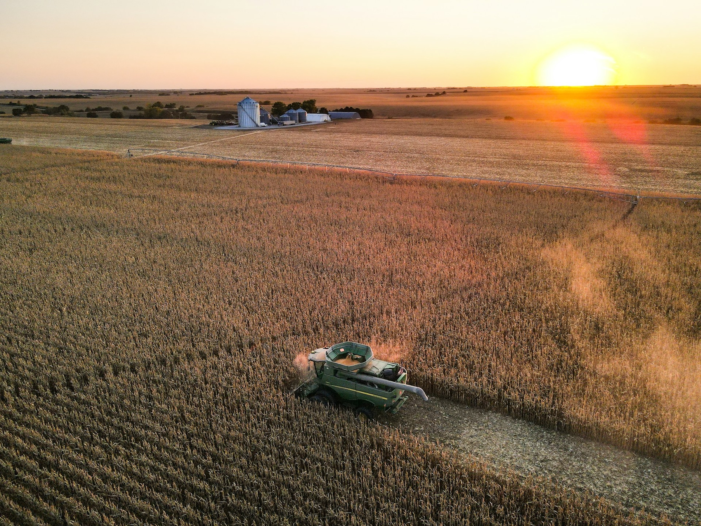
Photo by Taylor Siebert on Unsplash.
The Farm Credit System (FCS) is a nationwide network of borrower-owned lending cooperatives created by Congress in 1916 to ensure that farmers, ranchers, and rural residents have reliable access to credit.1 Today the FCS operates through roughly 60 regional lenders, each serving a defined geographic territory.2 As of 2021, the system held 45 percent of all U.S. farm sector debt, more than any other lender category in the country.3 The whole network is regulated and examined by the Farm Credit Administration (FCA), a federal agency established “to ensure that Farm Credit System institutions…are safe, sound, and dependable sources of credit.”4
Fair warning before diving in: I am a regional economist and not an ag finance scholar! My interest in Farm Credit grows out of some ongoing work on “bank deserts” and the downstream economic consequences that follow. In that research, we have tried to incorporate credit unions and Farm Credit associations alongside FDIC-regulated branches. The problem is that unlike FDIC and NCUA data, which are freely available and well-structured, the geographic locations of Farm Credit branches and headquarters are surprisingly difficult to pin down.
Back in 2022, I cobbled together a time-consuming method to collect Farm Credit branch addresses, state by state. That approach worked out okay, but it isn’t something I would care to repeat. As we continue building out our research on brick-and-mortar lending access,5 I wanted a cleaner, more reproducible pipeline. And with the assistance of Claude Code, I built one!
I shared an early draft of this post with Jennifer Ifft, Kevin Kim, Joe Parcell, and Alice Roach—agricultural economists who each know far more about the Farm Credit System than I do—and their feedback sharpened the text and directly informed the What’s Next section below. I am grateful for their time and generosity.
Mapping the Farm Credit System
Branch office locations were scraped from the Farm Credit “Find a Lender” tool, which enables a county-level lender search. To get complete national coverage, I queried every county in every state and deduplicated the results. Headquarters addresses came from a separate source: the FCA Public Directory, which lists every chartered institution along with its official address. I scraped the detail page for each institution, parsed the address into its component fields, and fuzzy-joined the results to the Farm Credit organization names to produce a unified dataset of branch and headquarters locations across the country.
The map below plots every Farm Credit branch and headquarters location in the United States.6 Click the legend to toggle between location types (branch vs. HQ), hover over any point for name and address details, and use the buttons below to download the full dataset in CSV or GeoJSON format.
Maps & Data by State
Use the dropdown to filter by one or more states. The map, markers, and table below are all linked, so selecting a state updates everything at once. You can also draw a bounding box directly on the map using the rectangular selection tool in the upper-left corner. The sortable table lists every branch and headquarters location for the selected states, and you can download the filtered results as a CSV using the button below the table.
Maps & Data by Institution Name
Use the dropdown below to filter by institution name, letting you see the full footprint of a specific lender, compare two associations side by side, or just figure out which organization serves a county you care about. Like the state view above, the map and table stay in sync as you make selections.
What’s Next
Several directions worth exploring came out of the reviewer feedback.
County service territories. Each Farm Credit lender has an officially designated set of counties where it is authorized to originate loans. The FCA Public Directory lists these territories for every institution, and mapping them would reveal something the branch-location map cannot: where multiple ACAs hold overlapping authority and compete for the same borrowers, versus where a single lender operates without competition. There is an important nuance here, though. As Joe noted, county lines are becoming a less reliable proxy for actual service area; if a borrower initiates contact, a lender can legally service that customer anywhere in the US.
Institutional complexity. The current map treats all branches as interchangeable, but the underlying institutional landscape is more varied than it appears. Making that structure legible on a map is a genuine challenge: with roughly 55 associations, color alone cannot do the work, and even a well-designed association-level visualization would require careful handling of entities that appear independent on paper but operate as one. Farm Credit Services of America, Frontier Farm Credit, and AgCountry share a single board and leadership team; their Manhattan, KS and Fargo, ND offices function as branches in practice, even though the FCA classifies them as headquarters. A different, less consolidated arrangement exists under AgVantis, which pools back-office services across six associations without yet merging governance.
Branch granularity and map density. Jenny pointed out that not all “branches” are equivalent: in Kansas, some locations are outposts, open only a few days a week, which creates a different access picture than a full-service branch. It may be possible to recover this distinction from the FCA web tool. She also noted that the size of the plotted points gives an impression of a denser network than actually exists; overlaying county boundaries would help ground the map in the vast rural territories each office is meant to serve.
Under the Hood
The R script below handles everything: scraping the Farm Credit lender directory county by county, supplementing with FCA-sourced headquarters addresses, geocoding all locations via the Mapbox API, and producing the GeoJSON and CSV files used in the maps above. If you run it yourself, please leave the built-in request throttle in place; it pauses between batches to avoid overloading the servers.
Footnotes
Hutchins, J. (2023). The US farm credit system and agricultural development: Evidence from an early expansion, 1920–1940. American Journal of Agricultural Economics, 105(1), 3-26.
Turvey, C. G., Carduner, A., & Ifft, J. (2021). Market microstructure and the historical relationship between the US farm credit system, farm service agency and commercial bank lending. Agricultural Finance Review, 81(3), 360-385.↩︎The system is also supported by a handful of funding banks that provide loanable funds to the associations within their districts. For a more complete primer on FCS structure, see Palange-Thomas, K., Ifft, J., Parcell, J., & Roach, A. (2024). America’s Largest Ag Lender: A Primer on the Farm Credit System. Rural and Farm Finance Policy Analysis Center.↩︎
Subedi, D., & Giri, A. K. (2024). Debt Use by U.S. Farm Businesses, 2012–2021. Economic Information Bulletin No. EIB-273. U.S. Department of Agriculture, Economic Research Service.↩︎
Farm Credit Administration. About FCA. U.S. Government Agency.↩︎
By “we” I am referring to myself, Tessa Conroy, Dayton Lambert, and Kelsey Thomas. The follow-up to our paper on bank deserts is called Bank Branch Concentration and Regional Small Business Lending and will be ready to share soon. Rounding out the trio, our final paper will take aim at causality, estimating how bank branch closures affect new business formation (or the lack thereof) in affected communities.↩︎
Hawaii’s two Farm Credit branches are included…you just have to zoom out to find them. I did not find any Alaskan branches in the Farm Credit lender directory.↩︎